Environmental Inventory and Management Strategy Focus Groups and Stakeholder Survey
Thank you for your input. Public feedback on this project is currently closed.
Thank you for your input. Public feedback on this project is currently closed.
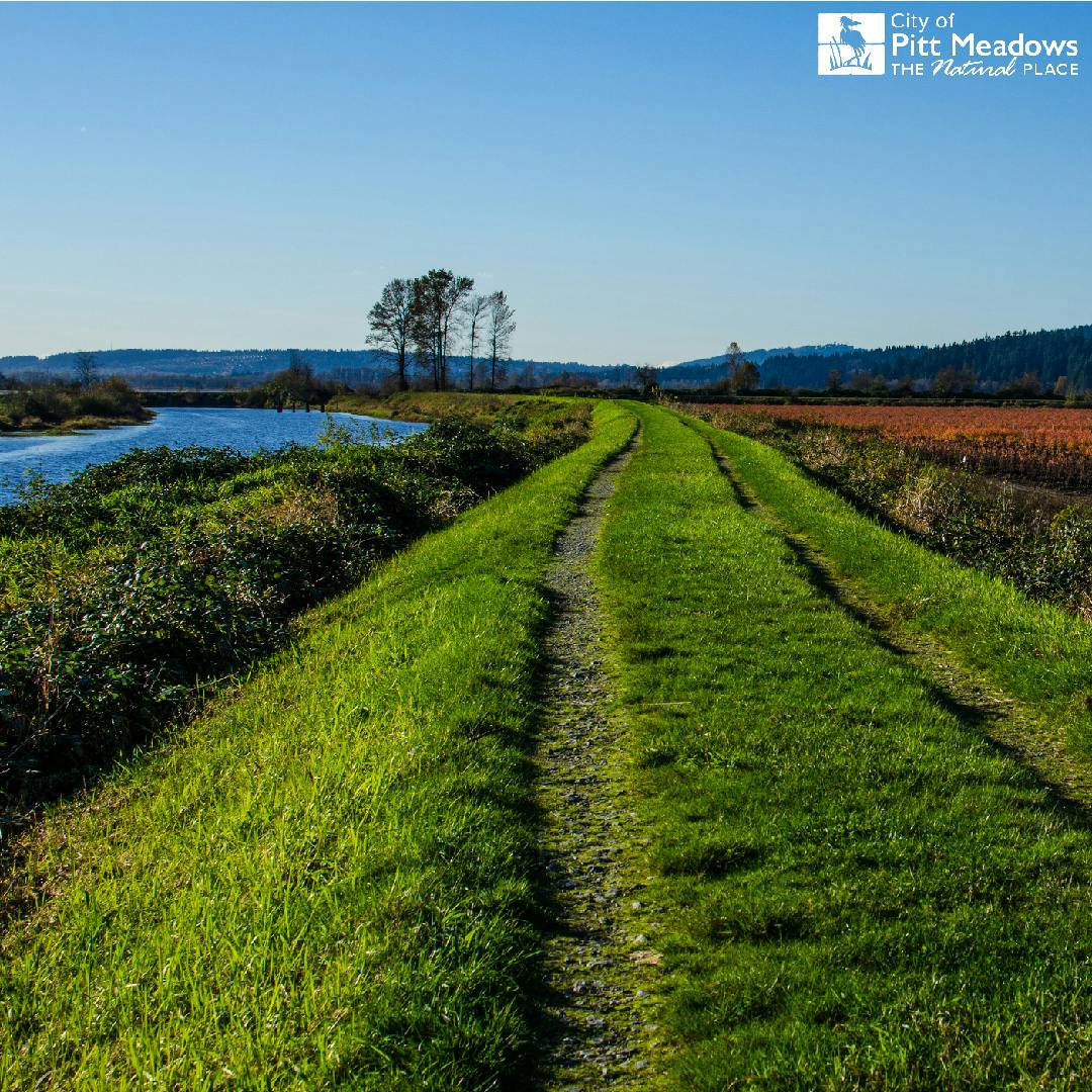
The Environmental Inventory and Management Strategy (EIMS) project will assess the City’s natural assets and identify supportive management strategies. We need your local knowledge to fill in the blanks and help identify management priorities.
Natural assets include the ecosystems (e.g., wetlands, forests, rivers) and resources (e.g., plants, animals, air, water, soils, minerals) that provide benefits and services to people. For example:
- healthy wetlands can filter harmful contaminants and store floodwater;
- forests and croplands produce oxygen, store carbon, clean the air, and provide wood and other products;
- water (including aquifers) supports agriculture and provides drinking water; and,
- bees and butterflies are important pollinators for many crops.
Many of the services provided by natural assets are “free”; technology, infrastructure and effort required to provide comparable services would cost significant time and money. In addition, natural assets provide valuable habitat for fish and wildlife and have important recreational, aesthetic and cultural importance for people.
The EIMS will act as a living document, that will continue to evolve while guiding future planning and management strategies. This will permit the City to refine its management approach and respond to future challenges by incorporating new information and best practices to manage natural assets over the long-term.
How can you be involved?
The EIMS will be based on meaningful engagement to ensure citizen and stakeholder concerns and priorities are fully considered. We are reaching out to stakeholders, including community groups, First Nations, neighbouring municipalities, provincial and federal agencies, and you. We need your contributions to this strategy as the City looks to update its policies for management of its valued natural assets. We will be trying a few different ways to connect with the community and stakeholder groups that respect health directives concerning COVID-19.
As a first step, please register and follow the links to share your knowledge about our natural assets. After you have provided your input, please check this website regularly for project updates and future opportunities to have your say on management of the City’s natural assets!
Progress to Date
Preliminary mapping of the City’s natural assets has already begun and this initial engagement effort is looking for additional feedback to ensure mapping is up to date and represents the City’s natural assets accurately. Field inventories beginning in April will help support this work.
